Open location from Arcview GIS in Google Maps/Earth
по адресу http://gis-lab.info/qa/open-in-google-en.html
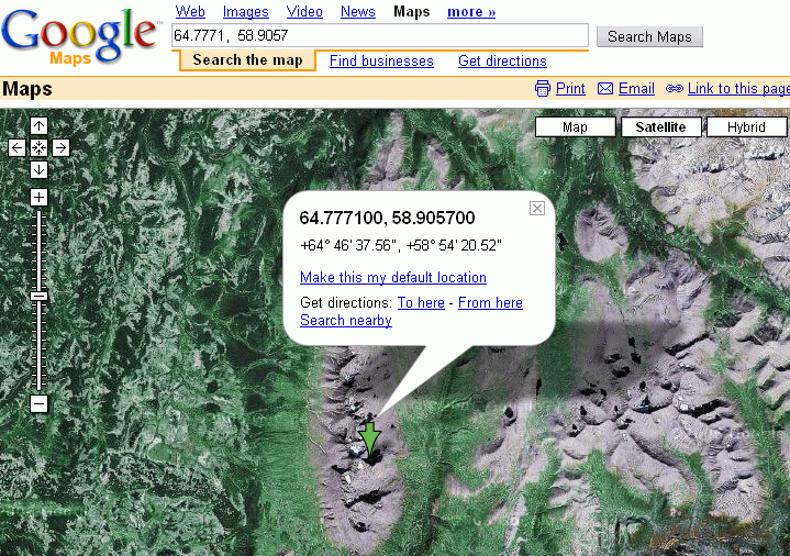
How you can quickly open a point from Arcview GIS in Google Maps or Google Earth.
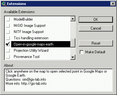
This is a description of a tool that allows to open Google Maps or run Google Earth focused on the point which is selected in Arcview GIS. To start working with it, you need to download an extension (version 1, version 2, version 3 - increased number of digits) and turn in on in ArcView (File\Extensions...).
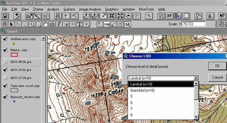
Two instruments will appear on the toolbar, which allow to click at a point and open a window centered on it in Google Maps (GM) or Google Earth (GE).
The tool works both with projected and unprojected view.
As the images in Google database are quite different (Landsat, Quickbird, aerial), the user can manualy select level of detail (LOD), or simply scale at which he would like to see an image. However, if very detailed scale is chose it is possible that there are no imagery for this level and Google Maps will show an error. Zoom out then.
If you work with GE, the zooming in happens automatically, so there is no need to select LOD. The tool fails with some versions of Google Earth/ If this happens, try going to googleearth.exe (Properties\Compatibility\Run this program in compatibility mode) and under parameters select Windows NT (more). If this didn't help as well, try opening Google Earth or browser before starting to use this tool.


